Knowledge recognised by UNESCO
UNESCO defines the art of dry stone construction as the practice of building with stone without binding materials. Found in several European countries, including Italy, it requires an innate understanding of geometry and physics and skill in handling raw materials. Long-term stability is achieved by careful selection and arrangement of stones, adapting the structure to the local terrain and climate.
The entry lists a great variety of works: houses, bridges, piers, arches, tombs, sheds, paths, vaulted cellars, beehive huts, religious buildings and fortifications. It is a social practice, UNESCO explains, that fosters collaboration and the transmission of techniques to future generations, and for the communities involved it is a source of pride and identity, given the visual impact of the structures on the landscape. The element is inscribed on the Representative List of Intangible Cultural Heritage, with an extension approved in 2024.
It is important to understand that the recognition concerns the knowledge and techniques handed down by communities: it does not automatically confer a title on every single wall, but invites us to see each wall as the result of that knowledge.
Sources: UNESCO — Art of dry stone construction, knowledge and techniques
Central Salento: a mosaic of walls and shelters
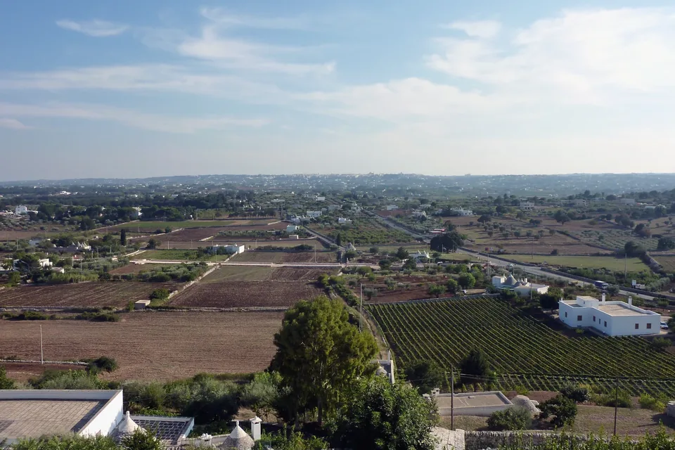
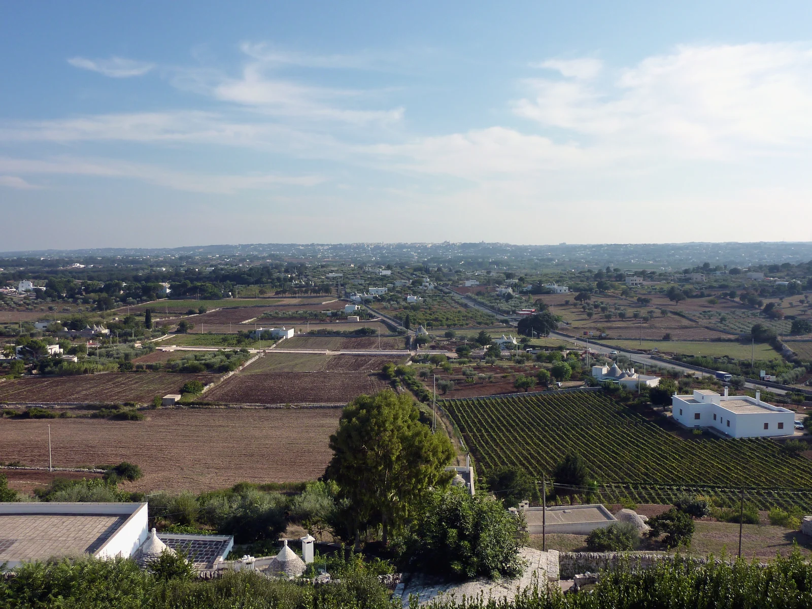
The Apulia Region’s landscape plan, in its entry on the Salento Tavoliere, describes Salento as largely a karst plain, broken only by the Serre, gentle olive-covered ridges. In central Salento, where a dense web of roads links small rural towns close to one another, the farmed landscape is dominated by stone and outcropping rock.
Here, the entry explains, small plots alternate with pastures and scant woodland, bounded by a dense mosaic of dry-stone walls, and many stone shelters dot the countryside. The source calls them by their local names: pagghiare, furnieddhi, chipuri and calivaci. Towards the eastern coast the olive-grove landscape prevails instead.
These shelters are not isolated objects: wall, ground and shelter together make up the organisation of the countryside. Looking at the boundary between two plots also helps understand a rural building. Stone is a material to be arranged and reused, but it also becomes a visible form of work and of the division of space, which travellers between Salento’s towns meet at every bend.
Sources: Regione Puglia, PPTR — Ambito 10: Tavoliere salentino
The Murgia of the trulli and Alberobello
The regional landscape plan identifies an area called the Murgia of the trulli: the southern part of the Murgia plateau, between the ridge overlooking the olive-covered coastal plain, the Canale Reale towards Brindisi and the scarp of the Ionian arc. The plateau is almost entirely limestone, with the red earth that marks the landscape, and is shaped by strong karst forms.
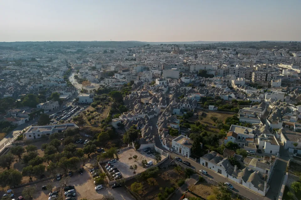
Italia.it recalls that trulli are dry-stone buildings with conical or pyramidal roofs, found throughout the Itria Valley, and that Alberobello has the greatest concentration, with over fifteen hundred trulli on the World Heritage List since 1996. The Alberobello page describes the Monti district, seen from the Santa Lucia viewpoint, the twin-domed Siamese trullo, the church of Sant’Antonio echoing their shapes, the Trullo Sovrano, the only one with two floors, and the Aia Piccola district, where about four hundred trulli are still lived in.
The same source points to the Casa dell’Amore, the first dwelling built of stone bound with mortar, marking the shift to another architecture: a useful contrast for understanding what makes dry stone building special.
Sources: Regione Puglia, PPTR — Ambito 7: Murgia dei trulli · Italia.it — Puglia · Italia.it — Alberobello
The Alta Murgia: walls, sheepfolds and drove roads
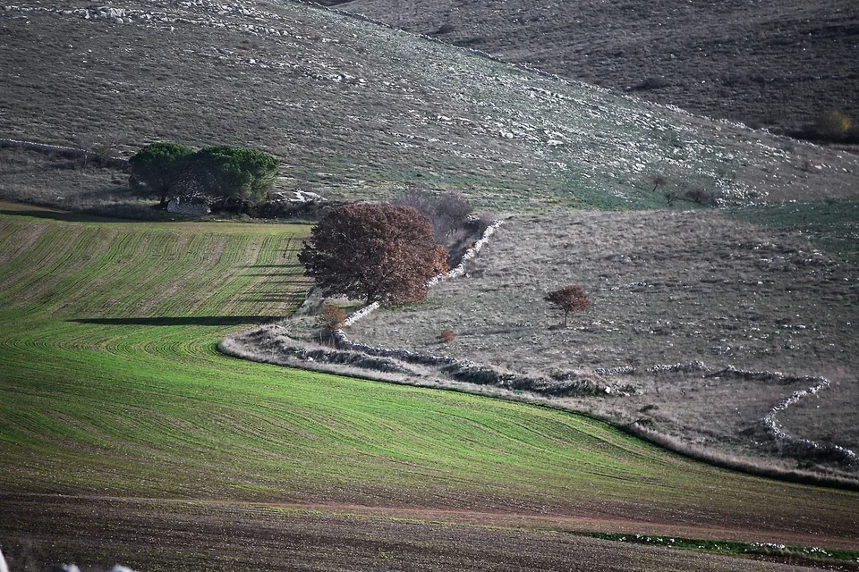
In its Alta Murgia entry the landscape plan describes a plateau of gentle undulations and sinkholes, almost without surface water, whose memory survives in place names and in the lame, erosion gullies running towards the sea. The landscape, the source notes, is full of natural and human marks born from a centuries-old balance with herding and farming.
Among these marks the entry lists extensive networks of dry-stone walls, underground villages and necropolises, rock churches and rural chapels, cisterns and snow pits, trulli and above all many farm masserie and sheep masserie, the so-called jazzi, built along the ancient transhumance drove roads.
The Alta Murgia National Park presents Jazzo Tarantini as a notable example of dry-stone rural architecture: a large rectangular enclosure divided by inner walls, with the stables, called lamioni, on one side and rooms for workers and milk processing on the other. It is perhaps the best place to see how dry stone served a precise economy, that of moving flocks.
Sources: Regione Puglia, PPTR — Ambito 6: Alta Murgia · Parco nazionale dell’Alta Murgia — Jazzo Tarantini
An ancient technique that endures
Dry stone building in Puglia has deep roots. The Ministry of Culture website on the Dolmen San Silvestro at Giovinazzo quotes the description written by archaeologist Gino Felice Lo Porto in 1967: the countryside around the monument, planted with almonds and olives, was dotted with trulli, and a trullo recently built a few metres from the dolmen seemed to him evidence of the continuity of a technique with protohistoric roots.
The same page describes the mound covering the tomb, held by a base of limestone slabs and blocks laid in stacked courses and wedged with smaller stones: a technique anyone who has looked at a country wall will recognise. The large heap that hid the dolmen had also grown through specchiatura, the habit of piling up stones cleared from fields.
This is not an unbroken line from prehistory to today, and the sources do not claim it is. It is rather a sign of how the same material and the same basic gestures, choosing, fitting, wedging, have been used in very different periods, for different purposes, in the same limestone landscape.
Sources: Ministero della Cultura, Dolmen San Silvestro — Natura e paesaggio
Looking at the wall close up and from afar
Close up, observe the choice of stones: sizes, joints, changes in texture and the top course. From afar, the wall becomes a line organising the landscape. The two readings complement each other: one concerns the act of building, the other what the structure connects or separates.
A curve, a gap or a repair may deserve more attention than a long uniform stretch. Where the wall widens, perhaps it had to hold many stones; where it drops, perhaps it allowed passage; where the texture changes, perhaps someone rebuilt it in another period. These are hypotheses to be made with caution, but they turn the walk into an exercise in reading.
For photographers, alternate a wide view with a detail, noting a question about function rather than just seeking a decorative motif. Remember too that walls and shelters are often on private land and are fragile: look at them without climbing on them or removing stones, because each stone taken weakens a work that took years of labour.
From shelter to cultivated countryside
On a journey between the Itria Valley, the Murgia and Salento, the comparison can focus on the relationship between shelter, boundary and field. First look at the whole, then ask which element supported a specific use of space: where people sheltered, where tools were kept, where animals stayed.
The local name of a building is a starting point to explore, not a category to apply to every structure. A lived-in trullo in Alberobello, a Salento furnieddhu and a Murgia jazzo are all built of dry stone, but they meet different needs, and comparing them is more interesting than looking for the most photogenic.
Tasting a farm product can follow this reading: oil from the walled fields, cheese from the flocks that rested in the jazzi. The table reminds us that the landscape was not made only to be admired, but to produce. The thread links material, work and food without making every stop the same, and lets you return home with a sharper question about the territory.
A walk with a few precise questions
For this theme we suggest a slow pace and a small notebook: a sketch of the wall’s line, a detail of the shelter and a relationship with the ground. It is an exercise accessible even without knowledge of architecture, and it works well with young people, who can count the courses of stone or look for the largest stone in a stretch.
Choose the period for the time you want to spend outdoors: spring and autumn offer suitable temperatures and greener fields, while in summer it is best to walk in the early morning. The walk can alternate with reading, a museum or a visit to a town.
The visit becomes more interesting when you compare two examples with a shared question. What changes in form if the terrain or function changes? A single difference observed well can give a thread to the whole day. Those wishing to go further can look locally for training or restoration initiatives devoted to dry stone, which according to UNESCO are one of the ways this knowledge continues to be handed on.
A thread for your journey
On a walk, notice changes in stone patterns, curves and repairs. This connects architecture with agricultural work without confusing structures from different periods and with different purposes.
Talk to us