Abruzzo joins Apulica along the oldest road linking it to Puglia: the transhumance droving tracks that took flocks from high pastures down to the Tavoliere plain. National parks, stone villages, a city rebuilding itself and a coast of wooden fishing machines over the sea.
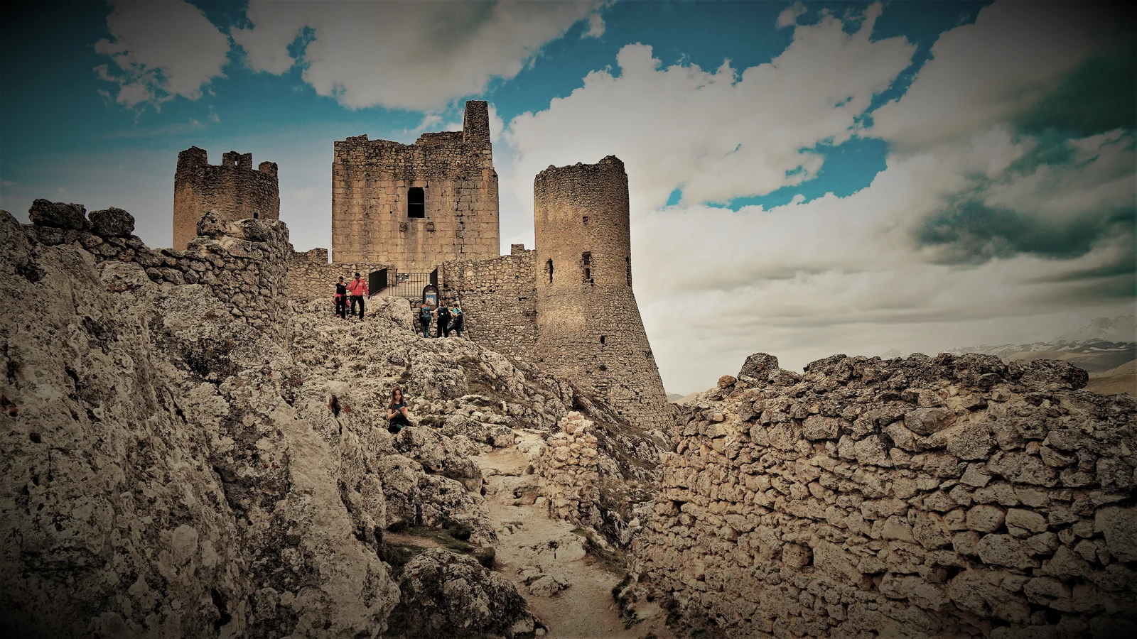
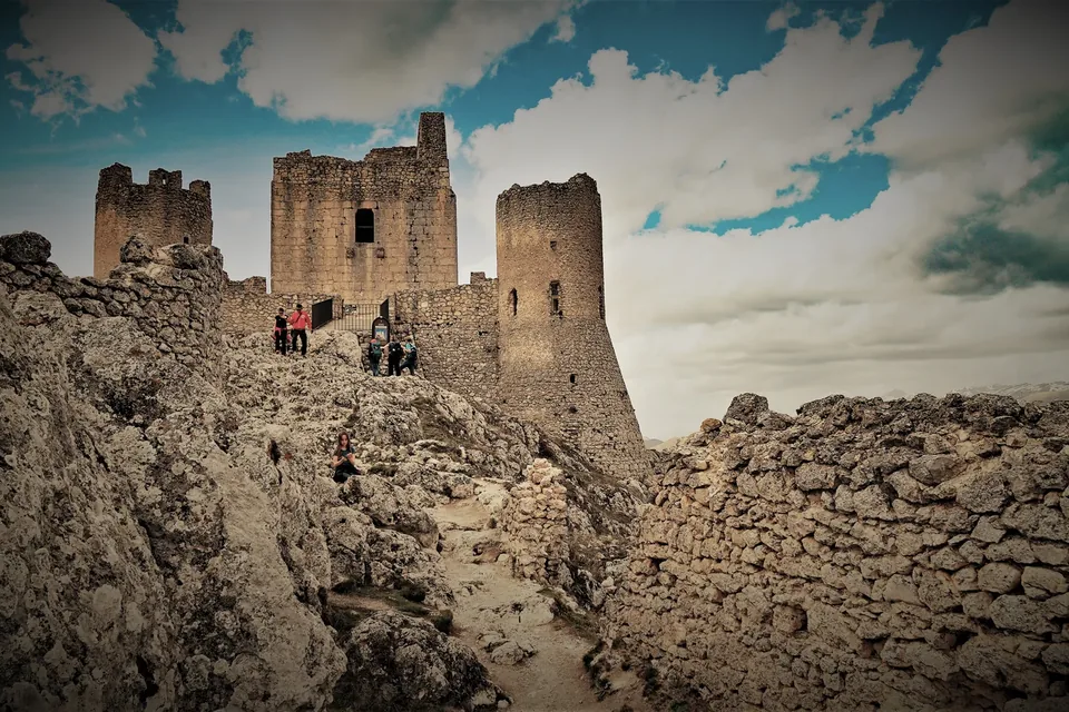
The fortress of Rocca Calascio. A contextual photograph of a place connected with this story. · Photo: Vincedelbenàco / Wikimedia Commons — CC BY-SA 4.0 · Resized and converted to WebP.
The grass road to the Tavoliere
For centuries transhumance was the great resource of the rural South: in autumn flocks came down from Abruzzo’s mountain pastures to the Tavoliere plain of Puglia, returning in summer. The Tratturo Magno, also called the King’s Tratturo, linked L’Aquila with Foggia and dates from the Aragonese period. It explains why Abruzzo is not an add-on for Apulica: it is the other end of the same journey.
Transhumance is inscribed on UNESCO’s Representative List of the Intangible Cultural Heritage, in a nomination shared by ten European countries including Italy. The listing describes the seasonal droving of herds along traditional routes, on foot or horseback, often with dogs and sometimes with families, and a body of knowledge that supports local food, crafts and festivals while countering depopulation.
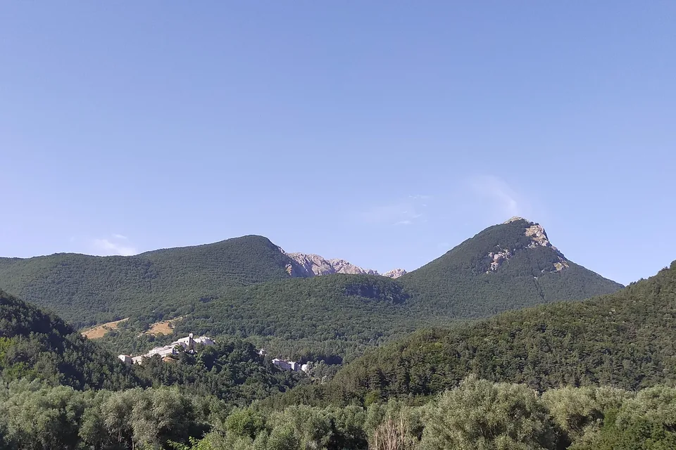
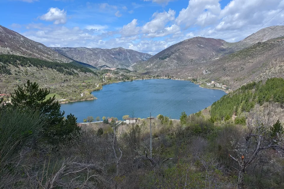
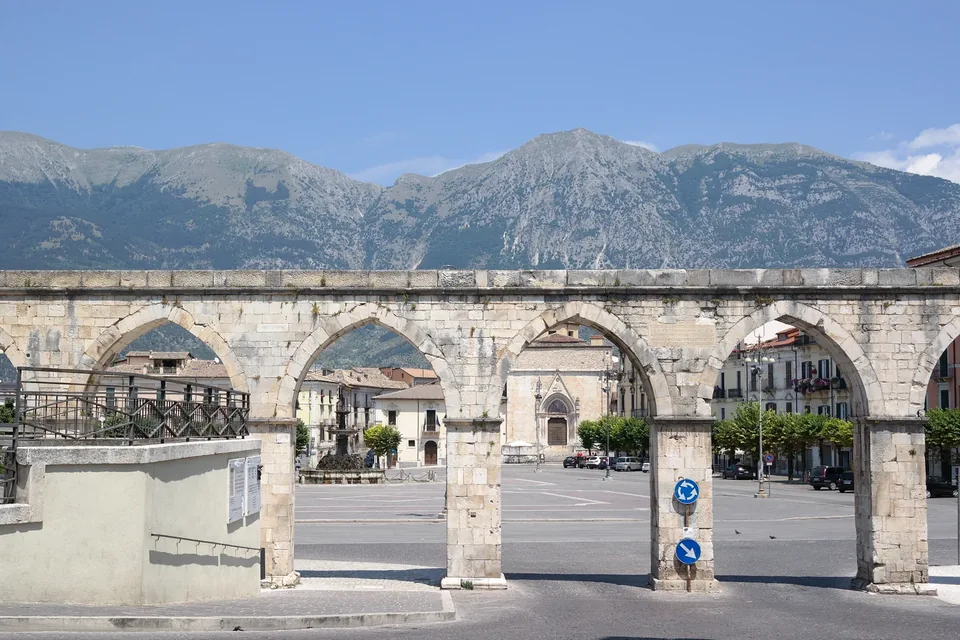
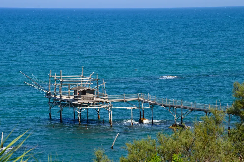
Apulica’s Abruzzo moves across three altitudes: the Apennine parks and villages, the basins of historic towns such as L’Aquila and Sulmona, and the Adriatic coast of the trabocchi. It is better to choose one or two at a time and match them to the season rather than cross the region in a hurry. Visits are arranged with local operators, without availability promised in advance.
L'Aquila, Basilica of Santa Maria di Collemaggio → Ortona, Cathedral of St Thomas the Apostle · The official site gives 204 km in 12 days for the full route. The original Maiella hermitage section measures 84 km according to the home page and the route overview, while the stage 5 page and the Maiella National Park site give 82 km. · 12 stages from L'Aquila to Ortona, plus a variant via Manoppello between Macchie di Coco and Serramonacesca. The "Classic" hermitage route corresponds to stages 5 to 9 and takes 5 days.
Rome, St Peter's Basilica → Ortona, Cathedral of St Thomas the Apostle · italia.it and the official site give 316 km. Other pages of the same official site speak of about 310 km and of the 313 km of its adopt-a-kilometre project. By mountain bike the recommended route measures 372 km. · 16 stages, one a day, according to italia.it and the official site; italia.it gives stages of about 25 km on flatter sections and about 15 km on those with more climbing. By mountain bike there are 7 recommended stages.
L'Aquila, Basilica of Santa Maria di Collemaggio → Monte Sant'Angelo, Church of St Michael the Archangel · The official site gives 543 km on foot in its summary figures, but its descriptive text speaks of more than 520 km, and the waymarking page of 520 marked km. The cycling version measures 440 km. · The official site gives 37 stages in its summary figures and 35 stages in its descriptive text. The stage list numbers 29 main stages (13 and 14 are merged) plus eight variants marked "bis"; the guidebook describes 29 stages plus 3 stages of a mountain variant. By bike there are 9 stages.
Reggio Calabria, where the trail returns to the mainland (stage SI U01) → Campotosto in Abruzzo (stage SI P13), from where the national trail continues towards Amatrice and beyond · About 8,000 km for the whole national trail according to the official project page (the FAQ gives 7,900–8,000 km). The CAI does not state the combined length of the sections in these six regions; for Calabria alone italia.it gives 654 km. · For the whole trail the FAQ speaks of more than 500 stages, while the project page mentions almost 400 stage points. The stage-card list shows 120 cards with codes P to U, variants included (R04 is missing). For Calabria italia.it gives 34 stages, while the CAI list has 32 Calabrian cards (U01–U32).

.jpg)


