APULICA / WALKS
Sentiero Italia CAI (sections in Abruzzo, Molise, Puglia, Basilicata, Campania and Calabria)
Reggio Calabria, where the trail returns to the mainland (stage SI U01) → Campotosto in Abruzzo (stage SI P13), from where the national trail continues towards Amatrice and beyond · About 8,000 km for the whole national trail according to the official project page (the FAQ gives 7,900–8,000 km). The CAI does not state the combined length of the sections in these six regions; for Calabria alone italia.it gives 654 km. · For the whole trail the FAQ speaks of more than 500 stages, while the project page mentions almost 400 stage points. The stage-card list shows 120 cards with codes P to U, variants included (R04 is missing). For Calabria italia.it gives 34 stages, while the CAI list has 32 Calabrian cards (U01–U32).
Key facts
| Start and finish | Reggio Calabria, where the trail returns to the mainland (stage SI U01) → Campotosto in Abruzzo (stage SI P13), from where the national trail continues towards Amatrice and beyond |
|---|---|
| Length | About 8,000 km for the whole national trail according to the official project page (the FAQ gives 7,900–8,000 km). The CAI does not state the combined length of the sections in these six regions; for Calabria alone italia.it gives 654 km. (Il SICAI - Sentiero Italia CAI · FAQ - Sentiero Italia CAI · Discovering the Cammini di Calabria - italia.it) |
| Stages | For the whole trail the FAQ speaks of more than 500 stages, while the project page mentions almost 400 stage points. The stage-card list shows 120 cards with codes P to U, variants included (R04 is missing). For Calabria italia.it gives 34 stages, while the CAI list has 32 Calabrian cards (U01–U32). (Il SICAI - Sentiero Italia CAI · Schede Tappa - Sentiero Italia CAI · FAQ - Sentiero Italia CAI · Discovering the Cammini di Calabria - italia.it) |
| Credential | The Walker's Passport is the planned official credential, stamped at mountain huts and SICAI-accredited lodgings; the official page says it will be available soon. (Il Passaporto - Sentiero Italia CAI · FAQ - Sentiero Italia CAI) |
| Regions | Calabria, Basilicata, Campania, Puglia, Molise, Abruzzo (National trail linking every Italian region: it reaches Reggio Calabria after the stages in Sardinia and Sicily and beyond Abruzzo it also continues into Lazio.) |
| Official website | sentieroitalia.cai.it |
In brief
- It is Italy's longest hiking route: about 8,000 km looked after by the Italian Alpine Club, touching every region. (Il SICAI - Sentiero Italia CAI · FAQ - Sentiero Italia CAI)
- In Calabria it links the Aspromonte, Sila and Pollino national parks: italia.it gives 654 km in 34 stages, the CAI list has 32 cards. (Discovering the Cammini di Calabria - italia.it · Schede Tappa - Sentiero Italia CAI)
- The eastern branch starts at Grottaglie and passes Matera, Altamura, Castel del Monte, Venosa and Melfi. (Scheda tappa SI R01 - Sentiero Italia CAI · Scheda tappa SI R06B - Sentiero Italia CAI · Scheda tappa SI R07A - Sentiero Italia CAI · Scheda tappa SI R09 - Sentiero Italia CAI · Scheda tappa SI R11B - Sentiero Italia CAI · Scheda tappa SI R12 - Sentiero Italia CAI)
- Red-white-red CAI waymarks; difficulty from T to EE depending on the stage. (FAQ - Sentiero Italia CAI · Segnaletica - Sentiero Italia CAI)
- The Walker's Passport has been announced but, according to the site, is not yet available. (Il Passaporto - Sentiero Italia CAI)
Why walk it
The Sentiero Italia CAI exists to bring walkers to little-known places through their nature, beauty and traditions, with an explicit focus on local communities and on slow travel that leaves value where it passes. It can also be walked in pieces: a single stage, a weekend or a crossing of several days.
Across the six regions the scenery keeps changing. The very first day out of Reggio Calabria gives views of the Strait of Messina, the Aeolian Islands and Etna; in the Sila a detour leads to the centuries-old larch pines of the Giganti reserve, up to 45 metres tall; above Morano Calabro the trail crosses the great karst bowl of Piano Grande di Masistro and, on the Pollino, the loricato pines.
The branch starting at Grottaglie, in Puglia, runs among the farmhouses, dry-stone walls, olive groves and Macedonian oaks of the Murge, reaches Matera and climbs to Castel del Monte. On the Sirino, from the summit of Monte Papa, the view takes in the Apennines from the Val d'Agri to the Cilento, and in Abruzzo the route reaches Campo Imperatore, below the highest peak of the Apennines.
Sources: Il SICAI - Sentiero Italia CAI · Il Passaporto - Sentiero Italia CAI · FAQ - Sentiero Italia CAI · Scheda tappa SI U01 - Sentiero Italia CAI · Scheda tappa SI U20 - Sentiero Italia CAI · Scheda tappa SI U32 - Sentiero Italia CAI · Scheda tappa SI T01 - Sentiero Italia CAI · Scheda tappa SI R01 - Sentiero Italia CAI · Scheda tappa SI R06A - Sentiero Italia CAI · Scheda tappa SI R06B - Sentiero Italia CAI · Scheda tappa SI R09 - Sentiero Italia CAI · Scheda tappa SI T06 - Sentiero Italia CAI · Scheda tappa SI P10 - Sentiero Italia CAI
What it is
The Sentiero Italia CAI (SICAI) is Italy's longest hiking route: the official site speaks of about 8,000 km linking every region, following the mountain backbone of the peninsula and reaching the two largest islands. It is the most ambitious project of the Italian Alpine Club (CAI), which restores, waymarks and promotes it through its local sections and volunteers.
This page covers the sections in Abruzzo, Molise, Puglia, Basilicata, Campania and Calabria. In the official list of stage cards they carry letter codes: U for Calabria, T for the Lagonegrese and the Basilicata side of the Pollino, S for Campania, R for the branch across Puglia and Basilicata, Q for Molise and P for Abruzzo.
The trail is not designed as a single journey to be completed end to end: the official FAQ stresses that many people choose single stages or short regional crossings. The route works closely with protected areas: along its full length it crosses 16 national parks and 60 regional parks and reserves. For Calabria alone, italia.it describes the regional section as a journey through the hinterland linking the Aspromonte, Sila and Pollino national parks and the Serre Regional Park.
Sources: Il SICAI - Sentiero Italia CAI · Schede Tappa - Sentiero Italia CAI · FAQ - Sentiero Italia CAI · Il Club Alpino Italiano ed il SICAI · Discovering the Cammini di Calabria - italia.it
The route
After Sardinia and Sicily the trail returns to the mainland at Reggio Calabria. The first stage climbs to Gambarie (28.0 km), then it continues to Polsi, San Luca, Serra San Bruno (19.4 km on to Torre di Ruggiero), Tiriolo, Lorica and Camigliatello Silano, up to the last Calabrian stage, from Piano Novacco to Morano Calabro (13.5 km). In Basilicata it climbs from Morano to the Madonna del Pollino sanctuary (21.1 km), then San Severino Lucano, Latronico, Castelsaraceno, Conserva di Lauria, Lago Sirino (15.1 km) and Rivello.
In Campania the first stage, from Fortino to Sanza (21.7 km), enters the Cilento, Vallo di Diano and Alburni National Park; then come Rifugio Cervati (10.3 km), Piaggine, Sicignano degli Alburni, Acerno and the heart of the Monti Picentini (16.0 km to Casa Rocchi), Serino, Telese, Faicchio and San Gregorio Matese. A variant on the Lattari mountains touches Corpo di Cava, Avvocata (5.6 km) and the Valico di Chiunzi (12.5 km), above the Amalfi Coast.
The eastern branch starts at Grottaglie (17.4 km to Contrada Ulmo) and passes Coreggia di Alberobello, Noci, Gioia del Colle (23.0 km), Santeramo in Colle (17.7 km), Matera (30.3 km), Altamura (22.8 km), Castel del Monte (23.1 km), Spinazzola, Palazzo San Gervasio, Venosa (19.3 km) and Melfi (21.1 km, beside the Vulture), then Candela, Accadia, Faeto and Alberona. The list has no R04 card.
In Molise it goes through Gambatesa, Altilia-Sepino (11.0 km), Bojano and Campitello Matese (12.9 km), where the Campanian section rejoins, then Isernia and San Pietro Avellana. At Rivisondoli the trail splits between Abruzzo and Lazio; in Abruzzo it reaches Barrea, Pescasseroli (26.4 km), Campo di Giove, Popoli, Ofena, Santo Stefano di Sessanio (19.2 km), Rifugio Duca degli Abruzzi (18.6 km), Pietracamela and Campotosto.
Sources: Schede Tappa - Sentiero Italia CAI · Scheda tappa SI S03 - Sentiero Italia CAI · Scheda tappa SI U01 - Sentiero Italia CAI · Scheda tappa SI U10 - Sentiero Italia CAI · Scheda tappa SI U32 - Sentiero Italia CAI · Scheda tappa SI T01 - Sentiero Italia CAI · Scheda tappa SI T06 - Sentiero Italia CAI · Scheda tappa SI S01 - Sentiero Italia CAI · Scheda tappa SI S02 - Sentiero Italia CAI · Scheda tappa SI S09 - Sentiero Italia CAI · Scheda tappa SI S16S - Sentiero Italia CAI · Scheda tappa SI S17S - Sentiero Italia CAI · Scheda tappa SI R01 - Sentiero Italia CAI · Scheda tappa SI R03 - Sentiero Italia CAI · Scheda tappa SI R05 - Sentiero Italia CAI · Scheda tappa SI R06A - Sentiero Italia CAI · Scheda tappa SI R06B - Sentiero Italia CAI · Scheda tappa SI R07A - Sentiero Italia CAI · Scheda tappa SI R09 - Sentiero Italia CAI · Scheda tappa SI R12 - Sentiero Italia CAI · Scheda tappa SI R11B - Sentiero Italia CAI · Scheda tappa SI Q04 - Sentiero Italia CAI · Scheda tappa SI Q06 - Sentiero Italia CAI · Scheda tappa SI Q12 - Sentiero Italia CAI · Scheda tappa SI P02 - Sentiero Italia CAI · Scheda tappa SI P09 - Sentiero Italia CAI · Scheda tappa SI P10 - Sentiero Italia CAI
Difficulty and terrain
Stages follow the CAI hiking scale, from tourist routes (T) to routes for expert hikers (EE). The CAI points out that even the easiest sections call for fitness, technical clothing and suitable footwear, along with the ability to find your way and to watch the weather. The waymark is the classic red-white-red, often with the trail logo, maintained by the local sections.
Effort varies greatly. The opening stage from Reggio Calabria gains about 1,726 metres of ascent in 28 km, the one from Bojano to Campitello Matese almost 1,300 metres, and in Abruzzo the trail reaches Rifugio Duca degli Abruzzi at 2,388 metres. On the Murge, by contrast, stages have modest ascent and often run on paved or gravel roads and along the Acquedotto Pugliese cycle route.
The cards flag specific issues: the tracks of the Puglia branch are being checked by local CAI sections, with no guarantee that they are fully walkable; since 29 April 2025 the Gambarie–Polsi stage has been marked impassable because of a landslide; on the Pollino and the Sirino some stretches may be hard going because of vegetation, and waymarking is poor in part of the park's zone A. Always read the current stage card before setting out.
Sources: FAQ - Sentiero Italia CAI · Segnaletica - Sentiero Italia CAI · Scheda tappa SI U01 - Sentiero Italia CAI · Scheda tappa SI U02 - Sentiero Italia CAI · Scheda tappa SI Q06 - Sentiero Italia CAI · Scheda tappa SI P10 - Sentiero Italia CAI · Scheda tappa SI R01 - Sentiero Italia CAI · Scheda tappa SI R03 - Sentiero Italia CAI · Scheda tappa SI R05 - Sentiero Italia CAI · Scheda tappa SI R06A - Sentiero Italia CAI · Scheda tappa SI T01 - Sentiero Italia CAI · Scheda tappa SI T06 - Sentiero Italia CAI
Hospitality and passport
The CAI has planned the Walker's Passport as the official credential: a travel diary in which to collect stage stamps at mountain huts and SICAI-accredited accommodation. Its dedicated page, however, says it will be available soon, so at the time of checking it did not yet appear to be issued.
For overnight stops the FAQ lists mountain huts, local accommodation and SICAI-accredited reception points, many of which offer food, trail information and the passport stamp. Accreditation, the site explains, commits hosts to quality and sustainability standards recognised by the CAI and is aimed at both hikers and mountain-bike hikers. Each stage card lists reception points where available.
Along the sections described here the cards mention different kinds of lodging: various places to stay at Gambarie and Camigliatello Silano, the hut below Monte Cervati, a hut near the Madonna del Pollino sanctuary, a farmhouse where you can sleep shortly before Santeramo in Colle, and Rifugio Duca degli Abruzzi at Campo Imperatore.
Sources: Sentiero Italia CAI - Home · Il Passaporto - Sentiero Italia CAI · FAQ - Sentiero Italia CAI · Scheda tappa SI U01 - Sentiero Italia CAI · Scheda tappa SI U20 - Sentiero Italia CAI · Scheda tappa SI S02 - Sentiero Italia CAI · Scheda tappa SI T01 - Sentiero Italia CAI · Scheda tappa SI R06A - Sentiero Italia CAI · Scheda tappa SI P10 - Sentiero Italia CAI
History and culture
The idea of the Sentiero Italia was born in the 1980s with Riccardo Carnovalini and a group of enthusiasts gathered in the Associazione Sentiero Italia; in the 1990s the Italian Alpine Club, founded in 1863, adopted it with the decisive drive of Teresio Valsesia. The project's philosophy is to rediscover historic paths and to make hiking an act of care for the environment and of support for local economies.
The route links many layers of history. In Reggio Calabria it passes the Pentimele fort, built between 1884 and 1890; in the Aspromonte it climbs Montalto, with the statue of Christ the Redeemer inaugurated in 1901. On the Sirino it reaches the seventeenth-century chapel of the Madonna di Sirino, the highest Marian sanctuary in Basilicata. In Molise it follows for a stretch the Candela–Pescasseroli tratturo, one of the great transhumance routes, to the Samnite and Roman remains of Saepinum.
On the eastern branch walkers meet Castel del Monte, a UNESCO World Heritage site, the town of Norman origin of Palazzo San Gervasio, and Venosa, a Roman town and the birthplace of Horace, before climbing towards Melfi along the Vulture.
Sources: Il SICAI - Sentiero Italia CAI · Il Club Alpino Italiano ed il SICAI · Scheda tappa SI U01 - Sentiero Italia CAI · Scheda tappa SI U02 - Sentiero Italia CAI · Scheda tappa SI T06 - Sentiero Italia CAI · Scheda tappa SI Q04 - Sentiero Italia CAI · Scheda tappa SI R09 - Sentiero Italia CAI · Scheda tappa SI R11A - Sentiero Italia CAI · Scheda tappa SI R11B - Sentiero Italia CAI · Scheda tappa SI R12 - Sentiero Italia CAI
Places along the route
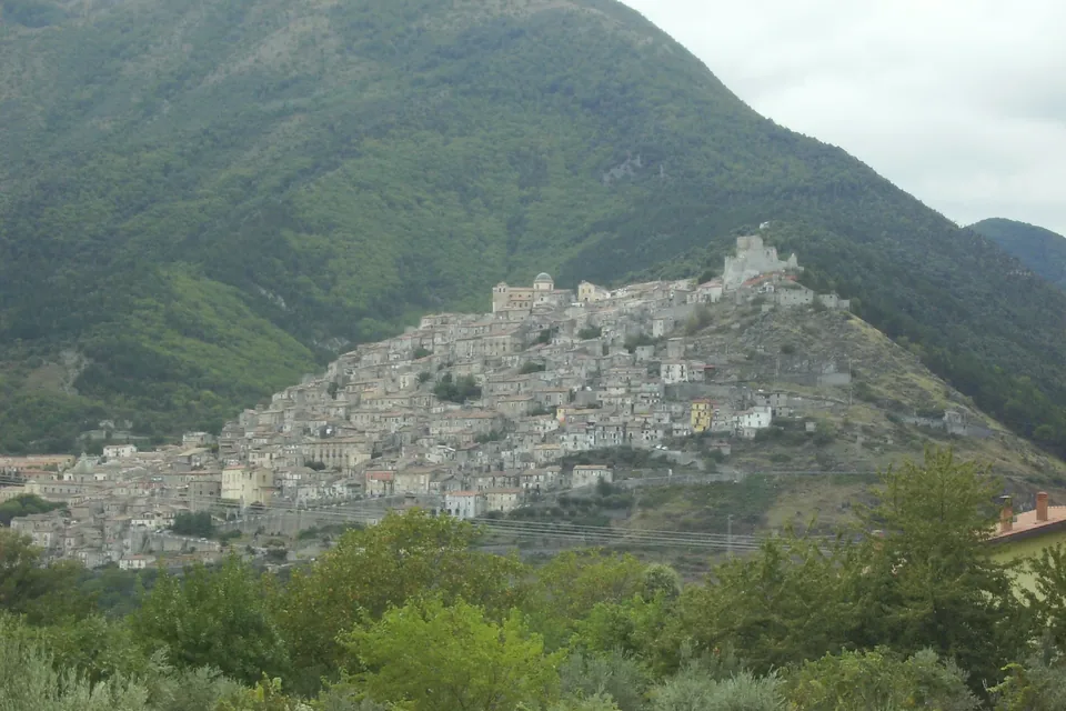
Morano Calabro
A historic hill town to explore on foot and connect with the Pollino landscape.
Read the guide →Photo: Pigr8 / Wikimedia Commons — Public domain · Resized and converted to WebP.

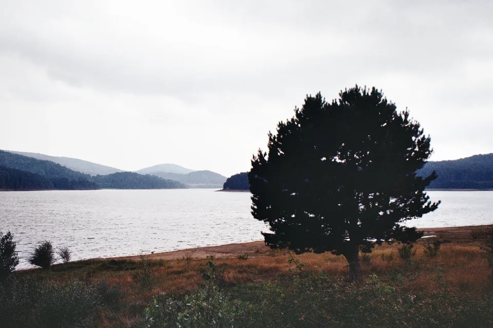
Sila
Sila National Park: a plateau of forests, lakes and pastures between Cosenza, Catanzaro and Crotone, and a UNESCO biosphere reserve.
Read the guide →Photo: Ugo Leonetti / Wikimedia Commons — CC BY-SA 4.0 · Resized and converted to WebP.

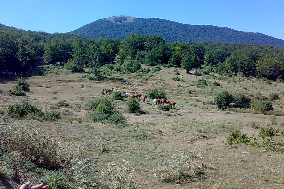
Pollino
A mountain landscape shared by Calabria and Basilicata, explored through walks, villages and a considered pace.
Read the guide →Photo: Gianni Lupindo / Wikimedia Commons — CC BY-SA 3.0 · Resized and converted to WebP.

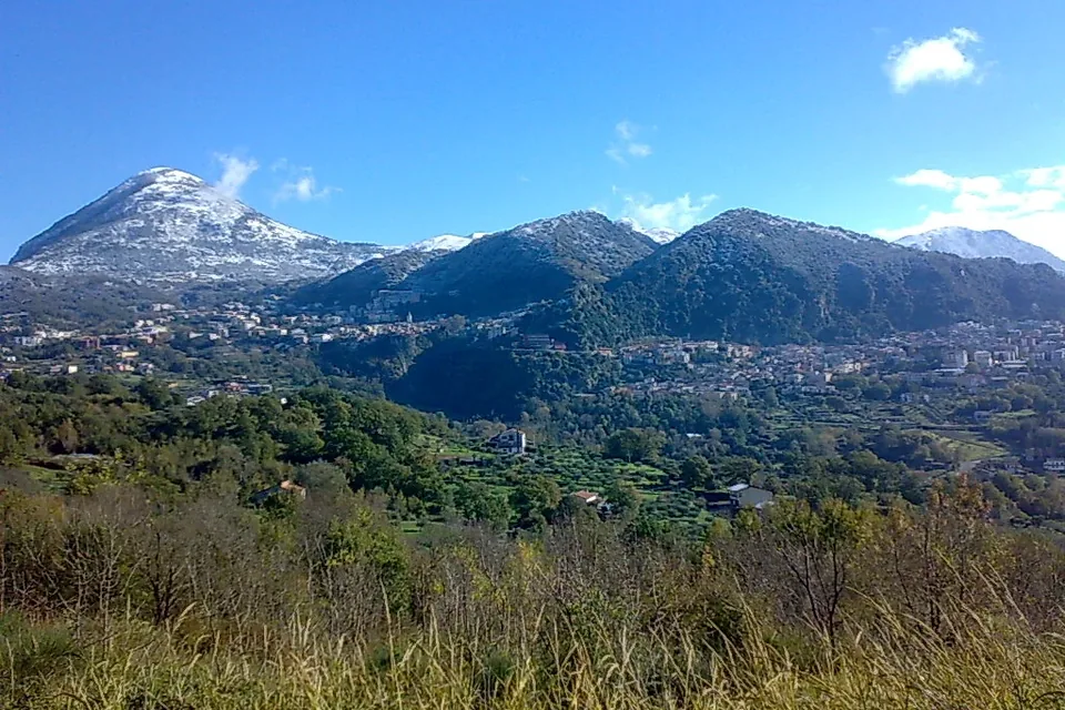
Lauria
Neighbourhoods, religious memory and cinema in the Noce Valley.
Read the guide →Photo: Gianni Lupindo / Wikimedia Commons — CC BY-SA 2.0 · Resized and converted to WebP.

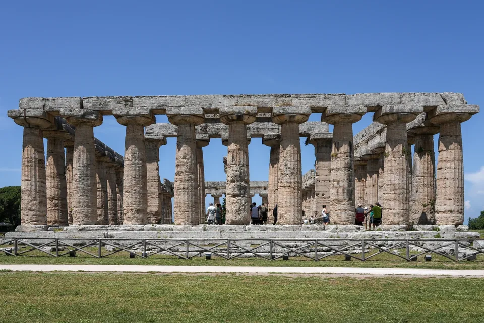
Cilento
The Cilento, Vallo di Diano and Alburni National Park: coastline, karst mountains, Paestum, Velia and the Padula Charterhouse.
Read the guide →Photo: PaestumPaestum / Wikimedia Commons — CC BY-SA 4.0 · Resized and converted to WebP.
,_East_view.jpg)
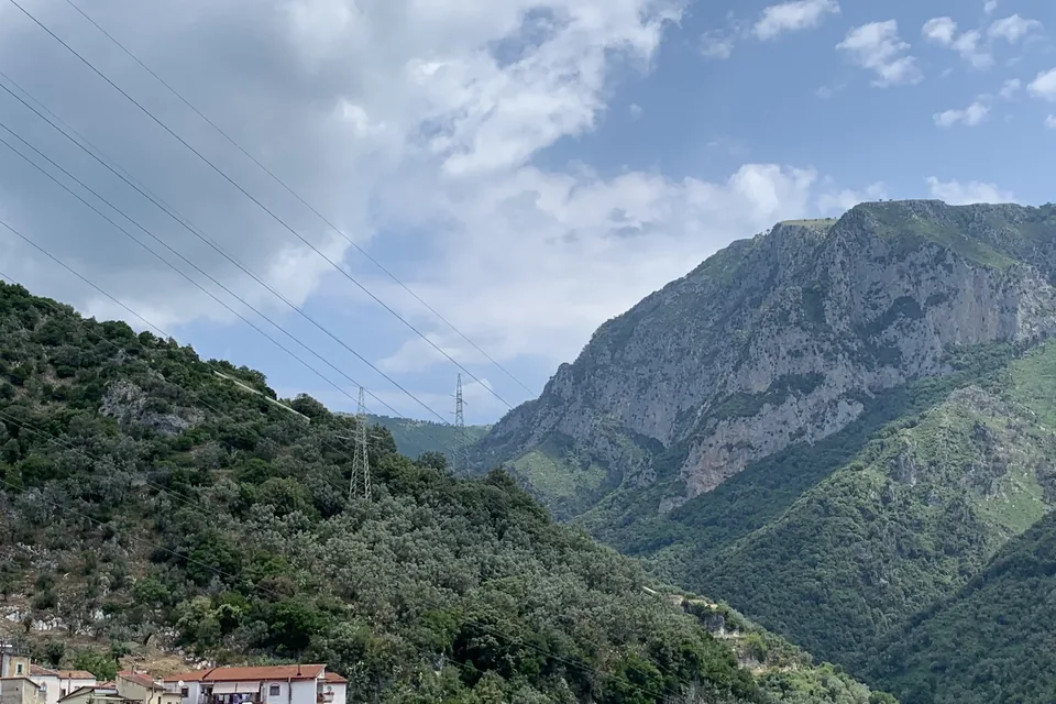
Picentini Mountains
A regional park of beech woods, springs and hill villages, with Giffoni Valle Piana and its film festival for young people.
Read the guide →Photo: Csal1933 / Wikimedia Commons — CC BY-SA 4.0 · Resized and converted to WebP.

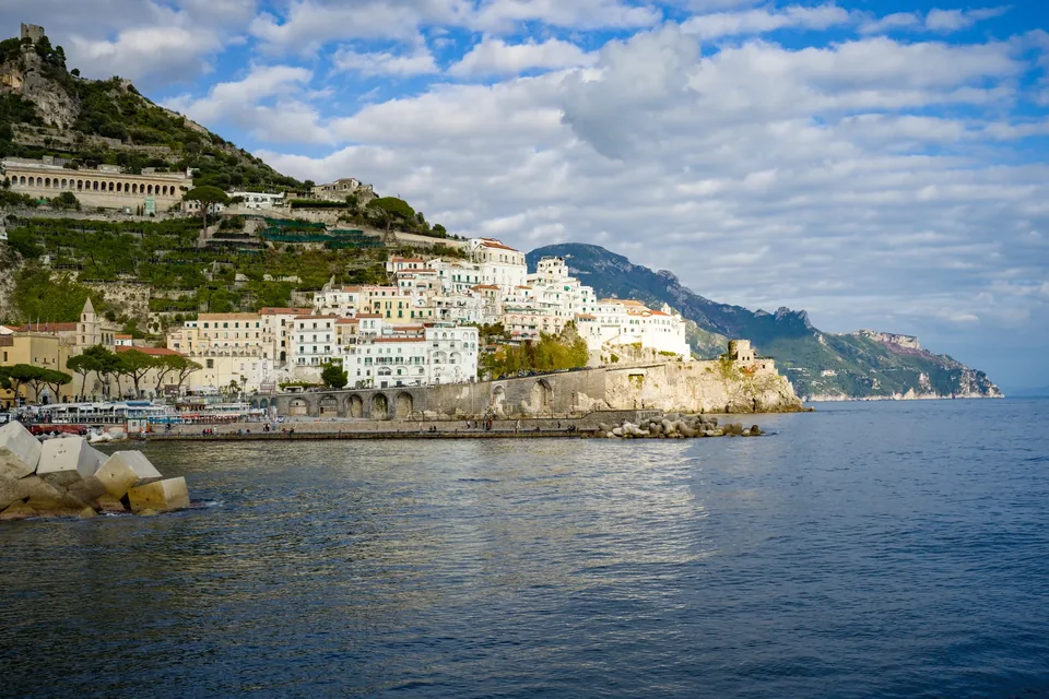
Amalfi Coast
The UNESCO cultural landscape between Positano and Vietri sul Mare: citrus terraces, footpaths, inland valleys and the history of a maritime republic.
Read the guide →Photo: Wolfgang Moroder / Wikimedia Commons — CC BY-SA 3.0 · Resized and converted to WebP.

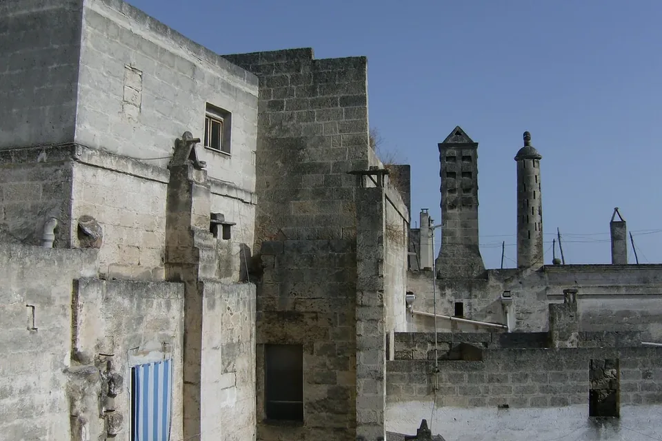
Grottaglie
Grottaglie: ceramics and rock.
Read the guide →Photo: gunzapper / Wikimedia Commons — CC BY 2.0 · Resized and converted to WebP.

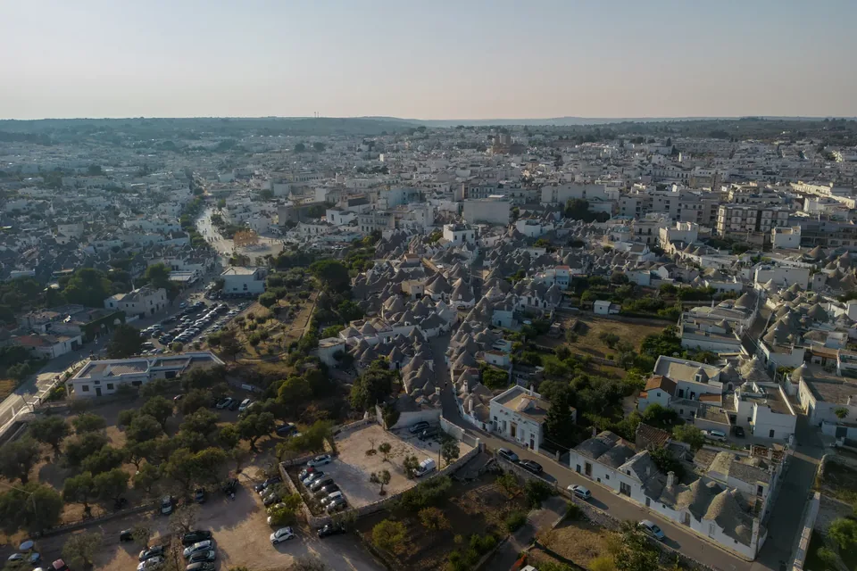
Alberobello
Trulli through their shape, space and everyday use.
Read the guide →Photo: ParisTaras / Wikimedia Commons — CC BY-SA 4.0 · Resized and converted to WebP.

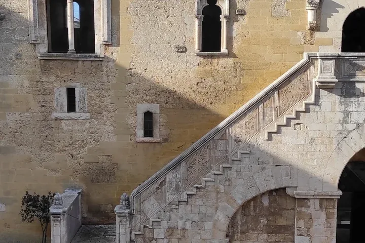
Gioia del Colle
Gioia del Colle: castle and rural memory.
Read the guide →Photo: Frababz85 / Wikimedia Commons — CC BY-SA 4.0 · Resized and converted to WebP.

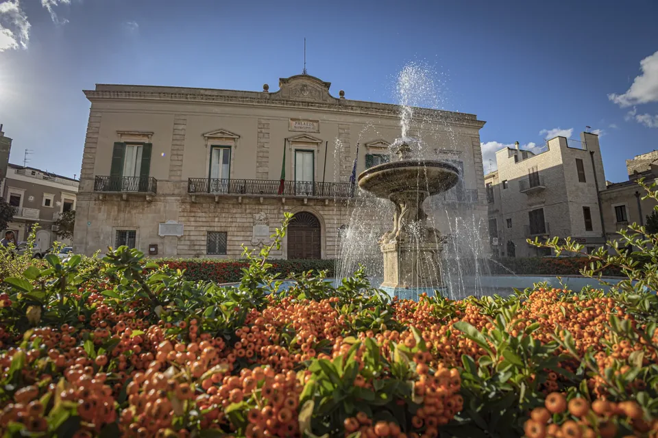
Santeramo in Colle
Santeramo in Colle: details of the inhabited Murgia.
Read the guide →Photo: G.ppe Davide Procacci / Wikimedia Commons — CC BY-SA 4.0 · Resized and converted to WebP.

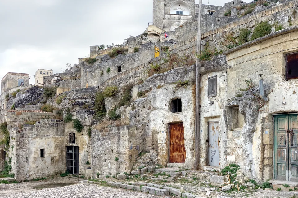
Matera
The Sassi, Murgia and local bread: explore a city through architecture, nature and everyday life.
Read the guide →Photo: Velvet / Wikimedia Commons — CC BY-SA 4.0 · Resized and converted to WebP.

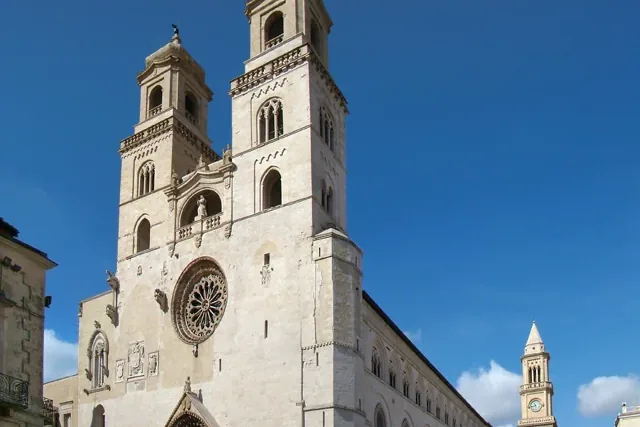
Altamura
Bread culture, the old town and the Murgia landscape as the starting point for a journey.
Read the guide →Photo: Tango7174 / Wikimedia Commons — CC BY-SA 4.0 · Resized and converted to WebP.

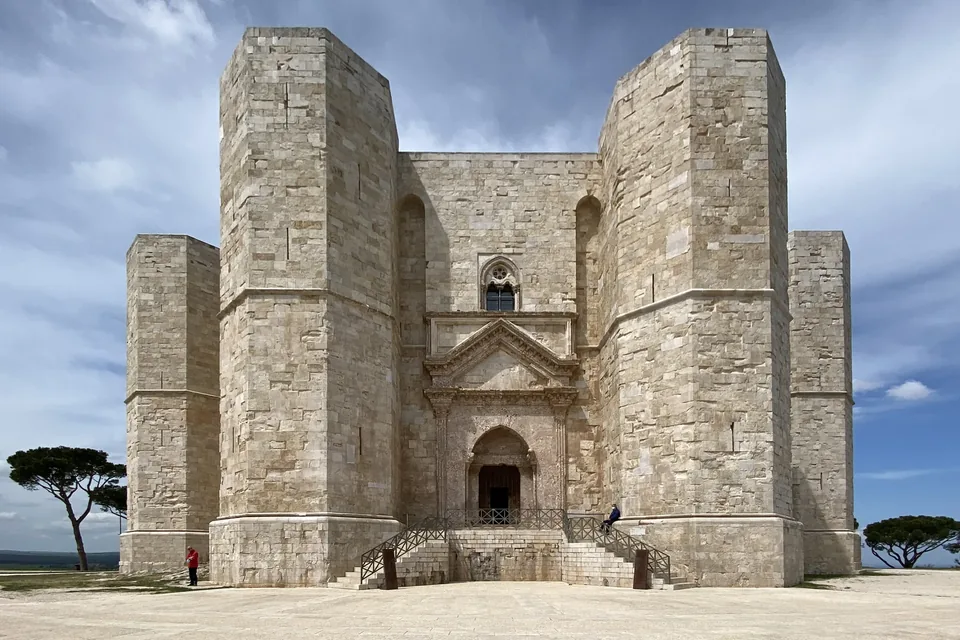
Castel del Monte
Frederick’s architecture within the Murgia landscape.
Read the guide →Photo: Bernard Gagnon / Wikimedia Commons — CC0 · Resized and converted to WebP.

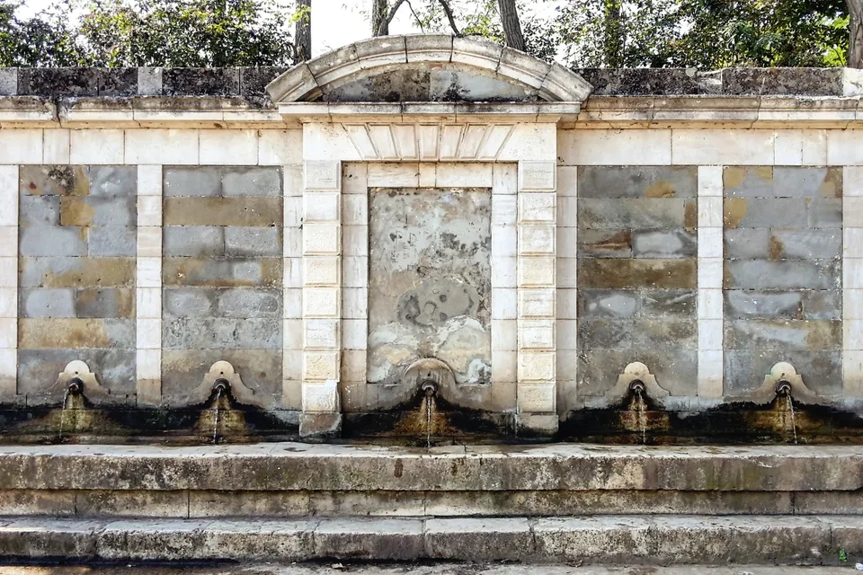
Palazzo San Gervasio
Palazzo San Gervasio: a collection in a small town.
Read the guide →Photo: Fuoco Fatuo / Wikimedia Commons — CC0 · Resized and converted to WebP.

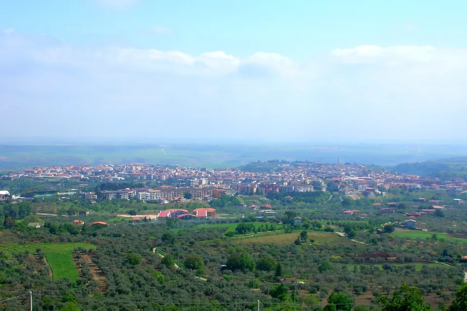
Venosa
Venusia, the unfinished church and the castle: connect history and food in Vulture-Melfese.
Read the guide →Photo: D.N.R. / Wikimedia Commons — CC BY-SA 3.0 · Resized and converted to WebP.

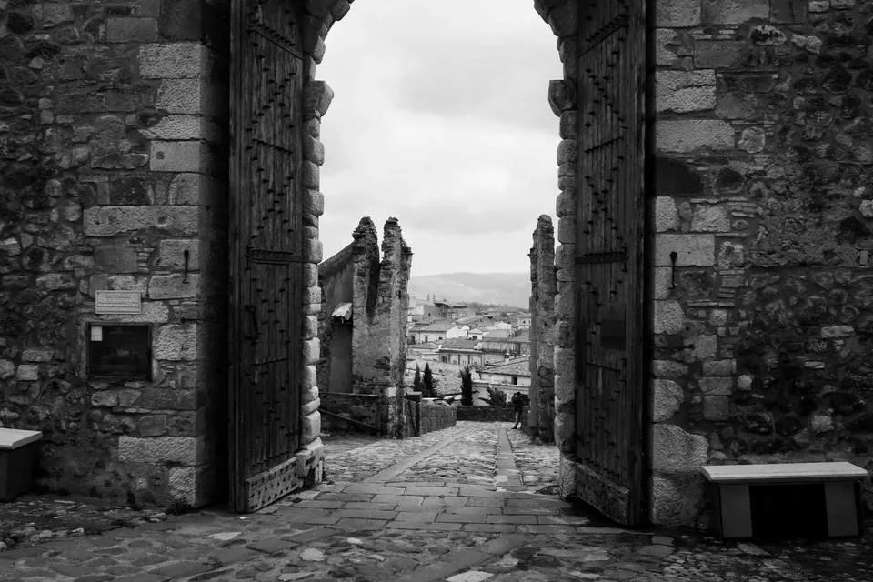
Melfi
Medieval heritage, archaeology and marroncino chestnuts: Melfi as a cultural chapter of Vulture.
Read the guide →Photo: Parisma62 / Wikimedia Commons — CC BY-SA 4.0 · Resized and converted to WebP.

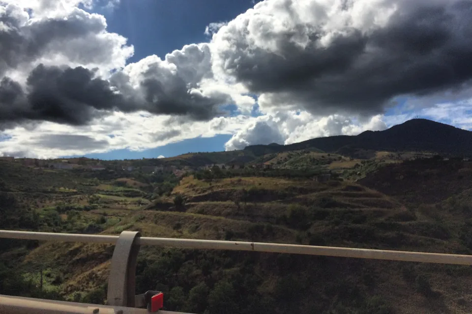
Vulture
Monticchio lakes, Rionero and wine culture: explore Vulture beyond a single tasting.
Read the guide →Photo: Gianmarco Tirico / Wikimedia Commons — CC BY-SA 4.0 · Resized and converted to WebP.

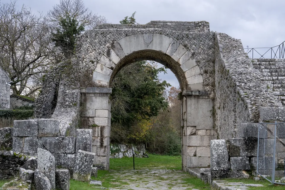
Sepino
The Altilia-Saepinum archaeological area, the medieval village of Sepino and Samnite Terravecchia above the Tammaro valley.
Read the guide →Photo: Stapinium / Wikimedia Commons — CC BY 4.0 · Resized and converted to WebP.
outside.jpg)
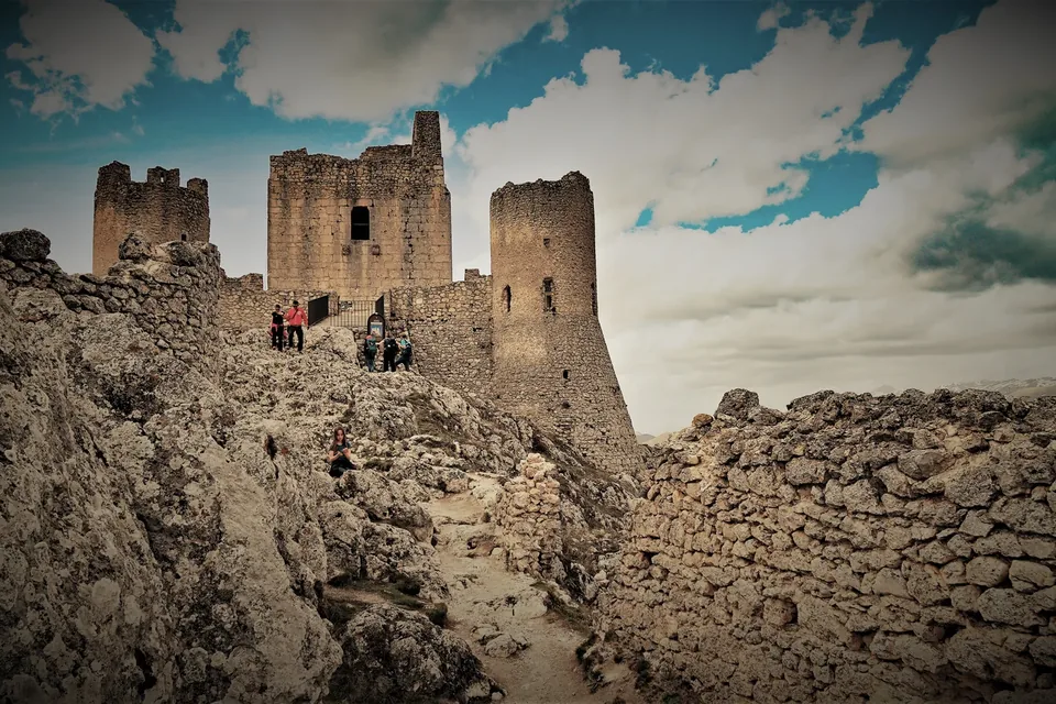
Santo Stefano di Sessanio and Rocca Calascio
A stone village on the L’Aquila side of the Gran Sasso, with a Slow Food Presidium lentil and the transhumance fortress nearby.
Read the guide →Photo: Vincedelbenàco / Wikimedia Commons — CC BY-SA 4.0 · Resized and converted to WebP.
.jpg)
Places of faith on the route
Sanctuary of the Madonna del Pollino
Sanctuary · San Severino Lucano · Madonna del Pollino
To taste along the way
Aglianico del Vulture
DOC · DOCG · Wines
Open the product page →Menaica anchovies
Slow Food Presidium · PAT · Fish and seafood
Open the product page →Bombetta (Martina Franca pork roll)
PAT · Meats and cured meats
Open the product page →Cilento cacioricotta
Slow Food Presidium · PAT · Cheeses
Open the product page →Cicerale chickpea
Slow Food Presidium · PAT · Fruit, vegetables and pulses
Open the product page →Cilento (extra virgin olive oil)
PDO · Oils and fats
Open the product page →Castrovillari white onion
Slow Food Presidium · Fruit, vegetables and pulses
Open the product page →Vatolla onion
Slow Food Presidium · PAT · Fruit, vegetables and pulses
Open the product page →Colatura di alici di Cetara (anchovy sauce)
PDO · Fish and seafood
Open the product page →Rotonda white beans
PDO · Fruit, vegetables and pulses
Open the product page →Poverello white bean
PAT · Slow Food Presidium · Fruit, vegetables and pulses
Open the product page →Fico Bianco del Cilento (dried white fig)
PDO · Fruit, vegetables and pulses
Open the product page →Gioia del Colle
DOC · Wines
Open the product page →Altamura lentil
PGI · Fruit, vegetables and pulses
Open the product page →Santo Stefano di Sessanio lentil
Slow Food Presidium · PAT · Fruit, vegetables and pulses
Open the product page →Limone Costa d'Amalfi (Amalfi Coast lemon)
PGI · Fruit, vegetables and pulses
Open the product page →Liquore di limone della Costa d'Amalfi (Amalfi Coast lemon liqueur)
IG · Soft drinks, spirits and liqueurs
Open the product page →Marrone di Roccadaspide (chestnut)
PGI · Fruit, vegetables and pulses
Open the product page →Rotonda red aubergine
PDO · Fruit, vegetables and pulses
Open the product page →Mischiglio
PAT · Slow Food Presidium · Fruit, vegetables and pulses
Open the product page →Mozzarella di Gioia del Colle
PDO · Cheeses
Open the product page →Mozzarella wrapped in myrtle
Slow Food Presidium · PAT · Cheeses
Open the product page →Cilento crushed salella olives
Slow Food Presidium · PAT · Fruit, vegetables and pulses
Open the product page →Altamura bread
PDO · Slow Food Presidium · Fresh pasta, bread and pastry
Open the product page →Matera bread
PGI · Fresh pasta, bread and pastry
Open the product page →Patata della Sila (Sila potato)
PGI · Fruit, vegetables and pulses
Open the product page →Zagarise siccagno cherry tomato
Slow Food Presidium · Fruit, vegetables and pulses
Open the product page →Calabrian Podolica cattle
Slow Food Presidium · PAT · Meats and cured meats
Open the product page →Gioi soppressata
Slow Food Presidium · PAT · Meats and cured meats
Open the product page →Bagnoli Irpino black truffle
PAT · Fruit, vegetables and pulses
Open the product page →Terra di Bari extra virgin olive oil
PDO · Oils and fats
Open the product page →Vulture extra virgin olive oil
PDO · Oils and fats
Open the product page →Sources
- Sentiero Italia CAI - Home
- Il SICAI - Sentiero Italia CAI
- Schede Tappa - Sentiero Italia CAI
- Il Passaporto - Sentiero Italia CAI
- FAQ - Sentiero Italia CAI
- Segnaletica - Sentiero Italia CAI
- Il Club Alpino Italiano ed il SICAI
- Discovering the Cammini di Calabria - italia.it
- Scheda tappa SI U01 - Sentiero Italia CAI
- Scheda tappa SI U02 - Sentiero Italia CAI
- Scheda tappa SI U10 - Sentiero Italia CAI
- Scheda tappa SI U20 - Sentiero Italia CAI
- Scheda tappa SI U32 - Sentiero Italia CAI
- Scheda tappa SI T01 - Sentiero Italia CAI
- Scheda tappa SI T06 - Sentiero Italia CAI
- Scheda tappa SI S01 - Sentiero Italia CAI
- Scheda tappa SI S02 - Sentiero Italia CAI
- Scheda tappa SI S03 - Sentiero Italia CAI
- Scheda tappa SI S09 - Sentiero Italia CAI
- Scheda tappa SI S16S - Sentiero Italia CAI
- Scheda tappa SI S17S - Sentiero Italia CAI
- Scheda tappa SI R01 - Sentiero Italia CAI
- Scheda tappa SI R03 - Sentiero Italia CAI
- Scheda tappa SI R05 - Sentiero Italia CAI
- Scheda tappa SI R06A - Sentiero Italia CAI
- Scheda tappa SI R06B - Sentiero Italia CAI
- Scheda tappa SI R07A - Sentiero Italia CAI
- Scheda tappa SI R09 - Sentiero Italia CAI
- Scheda tappa SI R11A - Sentiero Italia CAI
- Scheda tappa SI R11B - Sentiero Italia CAI
- Scheda tappa SI R12 - Sentiero Italia CAI
- Scheda tappa SI Q04 - Sentiero Italia CAI
- Scheda tappa SI Q06 - Sentiero Italia CAI
- Scheda tappa SI Q12 - Sentiero Italia CAI
- Scheda tappa SI P02 - Sentiero Italia CAI
- Scheda tappa SI P09 - Sentiero Italia CAI
- Scheda tappa SI P10 - Sentiero Italia CAI