Why go
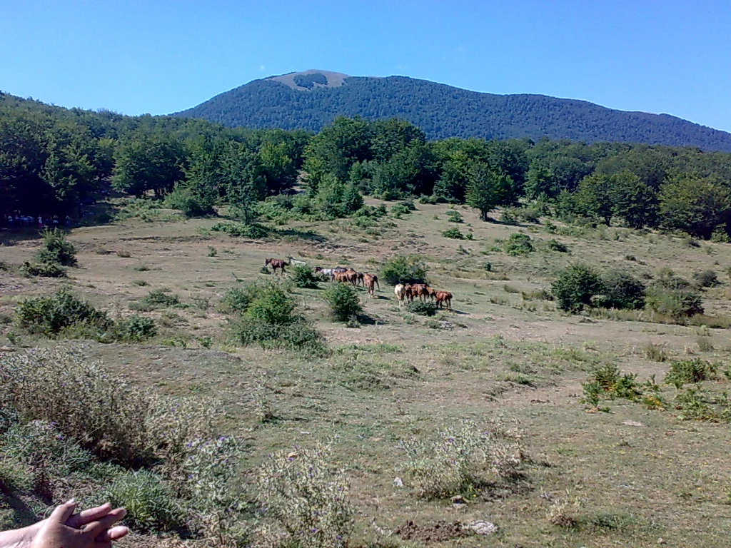
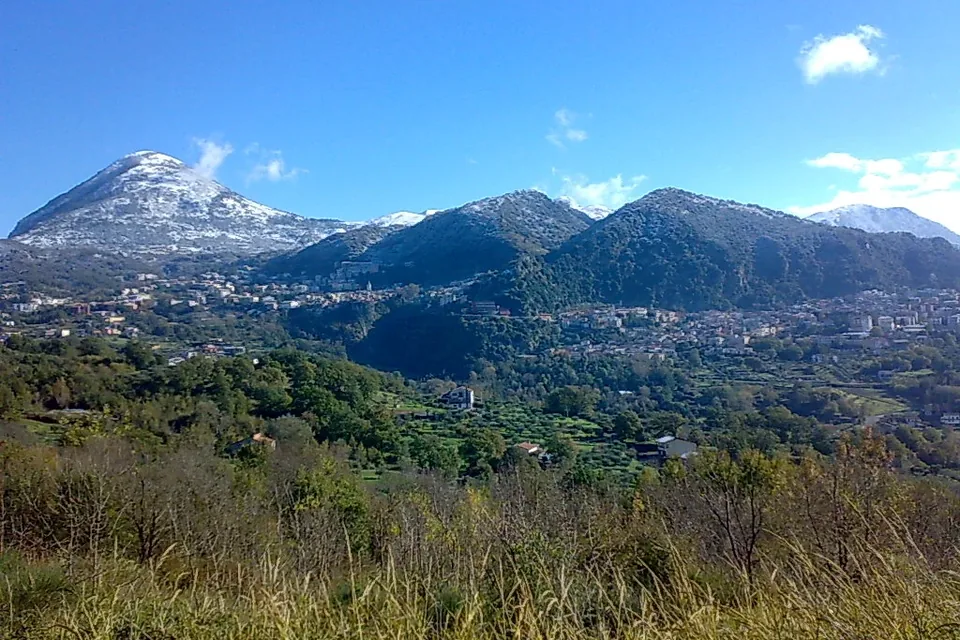
Pollino National Park covers more than 192,000 hectares across Calabria and Basilicata, in 56 municipalities in the provinces of Cosenza, Potenza and Matera. The Park Authority calls it the largest recently established protected area in Italy: it includes the Pollino massif, the Orsomarso mountains and Monte Alpi, and its highest summit, Serra Dolcedorme, reaches 2,267 metres and stays snow-covered for many months.
Its emblem is the Bosnian pine, known here as pino loricato, a tree whose plated bark recalls armour and which, at high altitude, often above the beech line, grows into shapes carved by the wind. Around it are ancient beech woods, fir stands, high meadows, gorges cut by mountain streams, and wildlife that includes wolf, roe deer, golden eagle and otter.
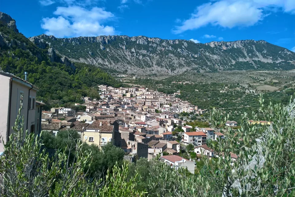
Pollino is not only nature. The surrounding villages are home to Arbëreshë communities, sanctuaries built into rock faces and hill towns with intact historic centres. It is a territory shared by two regions, best explored by choosing one side and one theme rather than trying to see everything in a few days.
Sources: Ente Parco Nazionale del Pollino — Il territorio · Ente Parco Nazionale del Pollino — Paesaggio · Ente Parco — Pino loricato
History
Human presence on Pollino is very old. The Park Authority highlights the Romito Cave near Papasidero, one of Europe's most important prehistoric sites: a limestone boulder outside the cave bears an engraving of an aurochs, Bos primigenius, from the Upper Palaeolithic, and excavations uncovered well-preserved burials. At Francavilla Marittima, between Timpone della Motta and Macchiabbate, lie an indigenous settlement older than the founding of Sybaris and a large necropolis.
Over the centuries Greeks, Romans, Lombards, Saracens, Byzantines, Normans and Spaniards followed one another, down to Italian unification and the long era of emigration. This layering shows in the religious buildings: the sanctuary of the Madonna delle Armi, built against a rock face near Cerchiara di Calabria from 1440; the church of Santa Maria di Costantinopoli at Papasidero, overlooking the Lao; the Pettoruto sanctuary at San Sosti; the ruins of the Colloreto convent near Morano Calabro.
The protected area was established in 1993. In 2015 the Park joined the UNESCO European and Global Geoparks Network, with 75 recorded geosites, and the old-growth beech forests of Cozzo Ferriero and Pollinello were inscribed as World Heritage in 2017 and 2021.
Sources: Ente Parco Nazionale del Pollino — Origini e storia moderna · Ente Parco Nazionale del Pollino — Il territorio · Ente Parco Nazionale del Pollino — Geoparco UNESCO · Ente Parco Nazionale del Pollino — Faggete patrimonio UNESCO
What to see
The two old-growth beech forests recognised by UNESCO are the Park's natural heart. Cozzo Ferriero, in the municipality of Rotonda, covers about seventy hectares on a plateau around 1,700 metres, with beeches over four hundred years old and dead trunks left standing and fallen. Pollinello, in the municipality of Castrovillari, grows between the summits of Pollino and Dolcedorme up to two thousand metres, alongside Bosnian pines: beeches over six hundred years old were dated here, the oldest in Europe according to research carried out with the University of Tuscia.
The landscape offers many other places: the Pollino and Novacco plains with their high meadows; the beech woods of Bosco Magnano; the Raganello and Lao gorges; the Argentino valley, a state reserve near Orsomarso. The Geopark's 75 geosites tell of dolomitic rock, basalt, glacial cirques and moraines.
To understand all this before heading up, the Park Ecomuseum in Rotonda, in the Santa Maria della Consolazione complex, presents history, flora, fauna and traditions through reconstructions, films and tactile and sound settings. In the villages, the rock sanctuaries, hill towns such as Morano Calabro and Arbëreshë communities such as Civita all reward a stop.
Sources: Ente Parco Nazionale del Pollino — Faggete patrimonio UNESCO · Ente Parco Nazionale del Pollino — Paesaggio · Ente Parco Nazionale del Pollino — Geoparco UNESCO · Ente Parco Nazionale del Pollino — Ecomuseo del Pollino
Food and wine
The Park Authority has organised local food into four supply chains: dairy, fruit and vegetables, cured meats and baked goods. Among cheeses it lists hard pecorino from sheep and goat milk; paddaccio, a seasonal fresh cheese of sheep and goat milk made by hand in Rotonda, Viggianello and Terranova di Pollino; and the baked ricotta of small dairies on the Calabrian side, dry-salted and baked in terracotta moulds.
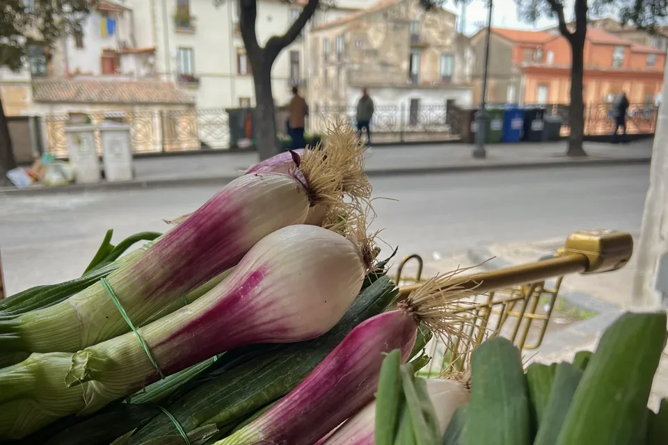
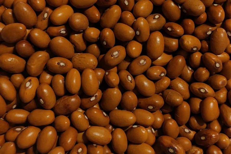
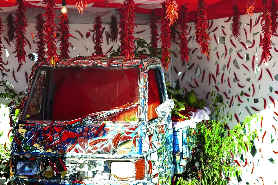
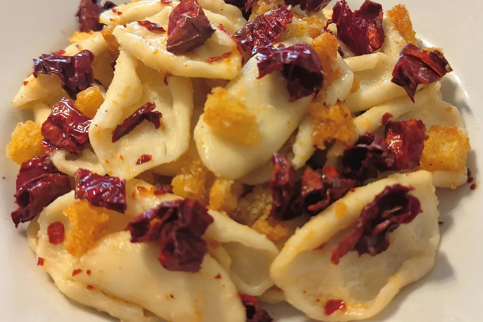
From the fields come Rotonda red aubergine, a Slow Food presidium and PDO product; white beans of the Mercure valley such as poverello bianco, picked by hand between September and October; and Senise PGI peppers, threaded into strings and dried in the sun. Soppressata changes with the side of the mountain: sweet or hot red pepper in Calabria, black and white pepper in Basilicata.
Baking has its emblem in the bread of Cerchiara di Calabria, made with sourdough, flour and bran and baked in a wood oven, which the Park describes as staying fragrant for many days. Taralli, freselle, the sweet Easter bread called piccidat, traditional pasta such as mischiglio, honey, preserves, wild-fruit liqueurs and Moscato al governo di Saracena complete the table.
Things to do
The Park's trail network is split between the Lucanian and Calabrian sides, with routes graded as tourist, hiking and expert hiking. Among the best known are the paths from Colle dell'Impiso towards Serra del Prete and the Pollino plains, from Colle del Malvento towards Serra Dolcedorme, and from Lake Duglia or the Madonna di Pollino towards Serra di Crispo, home to the most famous Bosnian pines. Official trail maps are sold at outlets authorised by the Park.
The Park describes Pollino as a vast wilderness area suited to many outdoor activities: trekking, rafting, canyoning in the gorges, climbing, mountain biking and horse riding. Cyclists have the Lagonegro–Rotonda route on the former Calabro-Lucana railway and the Calabria Parks Cycle Route, which starts from Laino Borgo and crosses much of the area.
For more demanding hikes, or simply to read the landscape better, the Park's official guides are a good choice; their association works with the Park Authority to run the information points. A day can also be gentler: a walk in the Bosco Magnano beech woods, a visit to the Ecomuseum and an afternoon in a village.
Sources: Ente Parco Nazionale del Pollino — Sentieri · Ente Parco Nazionale del Pollino — Il territorio · Ente Parco Nazionale del Pollino — Sport e attività · Ente Parco Nazionale del Pollino — Come raggiungerci · Ente Parco Nazionale del Pollino — Info point
When to go
Pollino can be enjoyed in almost every season, but each calls for different choices. Spring brings high-altitude flowers, wild orchids and peonies that the Park counts among the colours of its landscape, and the streams run full: a good time for the gorges and mid-altitude walks. Summer is the season for ridges and the Pollino plains, when snow has retreated and the high meadows are open; it is also when the Park Authority runs seasonal info points at Campotenese, Rotonda, Bosco Magnano and the entrance to the Argentino valley.
Autumn colours the beech woods and brings the harvest of the Mercure valley's white beans, which the Park places between September and October. It suits those who want cooler walks and food made with freshly harvested produce.
In winter Serra Dolcedorme and the highest peaks stay snow-covered for a long time, and high-altitude hikes require suitable experience and equipment, ideally with an official guide. Dates of patron saint festivals and village food fairs change every year and should be checked with the municipalities before setting out.
Sources: Ente Parco Nazionale del Pollino — Paesaggio · Ente Parco Nazionale del Pollino — Infopoint 2026 · Ente Parco Nazionale del Pollino — Sapori
Getting there and around
The Park Authority lists several rail hubs from which to continue by local bus, on both sides: Sapri in Campania; Scalea, Paola, Roggiano Scalo–San Marco Argentano, Trebisacce and Sibari in Calabria; Policoro and Maratea in Basilicata. The reference airports are Naples, Bari and Lamezia Terme, from which you continue by hire car, bus, train or taxi.
By car the main route from the west is the A2 Mediterranean motorway, which enters the Park with exits at Lauria, Laino Borgo, Campotenese, Frascineto and Castrovillari. From the east, the SS106 Ionian road connects with access roads such as the SS653 through the Sinni valley and the SS534 from Sibari to Castrovillari.
For buses, the Park points to private long-distance services from cities such as Bari, Naples, Rome, Florence, Perugia and Milan; locally, Lucanian villages are served by the COTRAB consortium and Calabrian ones by Trasporti Nord Calabria. Once there, a car remains the most practical way to move between villages and reach trailheads, many of which lie at altitude and far from towns.
Sources: Ente Parco Nazionale del Pollino — Come raggiungerci
Where to stay
The Park publishes a list of accommodation on its website, organised by municipality, and warns that the location refers to the municipality rather than the exact spot: before booking, check where the property actually lies in relation to the trails you want. The list covers the whole protected area on both sides, so you can compare valley villages with places closer to the high ground.
The choice of base depends on the side. Rotonda and Viggianello, in Basilicata, are close to the Mercure valley, the Ecomuseum and the trails climbing to the Pollino plains. Morano Calabro and Castrovillari, on the Calabrian side, are handy for the motorway, Campotenese and Pollinello; Civita and Cerchiara face the Raganello gorges and the Ionian side.
Those planning long hikes can consider the refuges from which some of the Park's catalogued trails start, such as Rifugio De Gasperi or Rifugio Fasanelli, checking in advance whether they are open. For a slower trip, choose one base for several nights and explore from there.
Sources: Ente Parco Nazionale del Pollino — Dove dormire · Ente Parco Nazionale del Pollino — Sentieri · Ente Parco Nazionale del Pollino — Ecomuseo del Pollino
Nearby
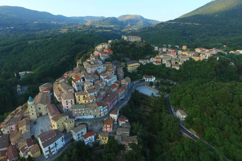
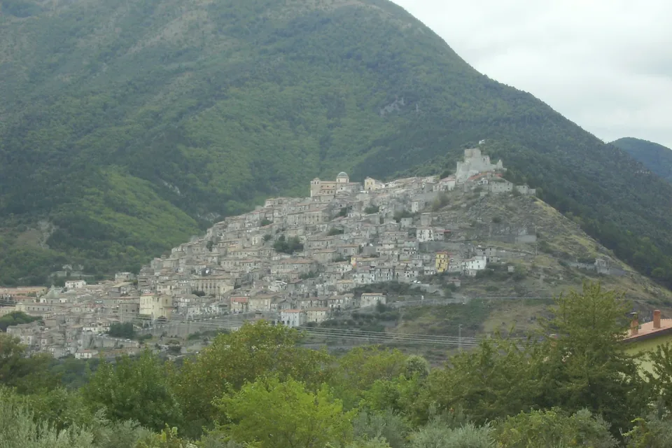
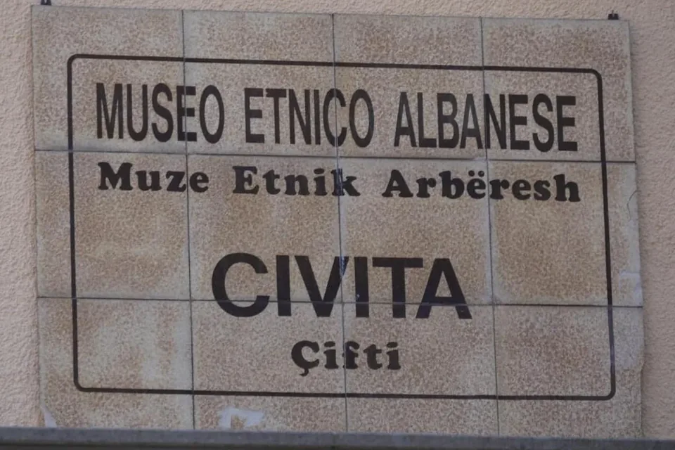
Pollino is a meeting point for many destinations. On the Lucanian side, Rotonda and Viggianello are the villages of the Mercure valley, with the Ecomuseum, white beans and red aubergines. On the Calabrian side, Morano Calabro shows a historic centre built up its hill and has the ruins of the Colloreto convent nearby; Civita, an Arbëreshë community overlooking the Raganello gorges, opens up the Italo-Albanian language and traditions that the Park counts as part of its identity.
To the south-west, the Orsomarso mountains and the Argentino valley descend towards the Tyrrhenian; to the south-east, the Park points to the sanctuaries of Cerchiara and the archaeological sites of Francavilla Marittima, a short way from the Sibari plain. Papasidero, with the Romito Cave and its church above the Lao, combines prehistory and river landscape.
Continuing south you reach the Sila, another great Calabrian park, where the landscape changes: uplands, lakes and pine forests instead of dolomitic ridges. Linking the two parks in one trip lets you cross much of Calabria's mountains.
Sources: Ente Parco Nazionale del Pollino — Origini e storia moderna · Ente Parco Nazionale del Pollino — Comunità arbëreshë · Ente Parco Nazionale del Pollino — Paesaggio · Ente Parco Nazionale del Pollino — Sapori
Local tourist information
Local tourist offices help with opening times, events and transport on the day.
- Info point Ecomuseo del Parco «S. Berardone» — Parco Nazionale del Pollino · Complesso Monumentale Santa Maria della Consolazione, 85048 Rotonda (PZ) · +39 0973 669311 · ente@parconazionalepollino.it · Official website
Source: Ente Parco Nazionale del Pollino — Ecomuseo del Pollino · Ente Parco Nazionale del Pollino — Info point · Ente Parco Nazionale del Pollino — Contatti · checked on - Info point «Catasta» — Parco Nazionale del Pollino (stagionale) · Località Campotenese, Morano Calabro (CS) · +39 351 759 3446 · Official website
Source: Ente Parco Nazionale del Pollino — Infopoint 2026 · Ente Parco Nazionale del Pollino — Info point · checked on
Where to stay
In the municipality of Rotonda the national database of the Ministry of Tourism lists 32 accommodation businesses with a verified CIN code: 5 hotels, 12 other licensed accommodation and 15 other types such as B&Bs and private rentals.
Sources: Ministero del Turismo – Banca Dati Strutture Ricettive (dashboard pubblica), 2026-10-12
YOUR JOURNEY
How to shape a journey here
Nature and villages between Basilicata and Northern Calabria. Routes and services are defined for each journey.
Talk to us about it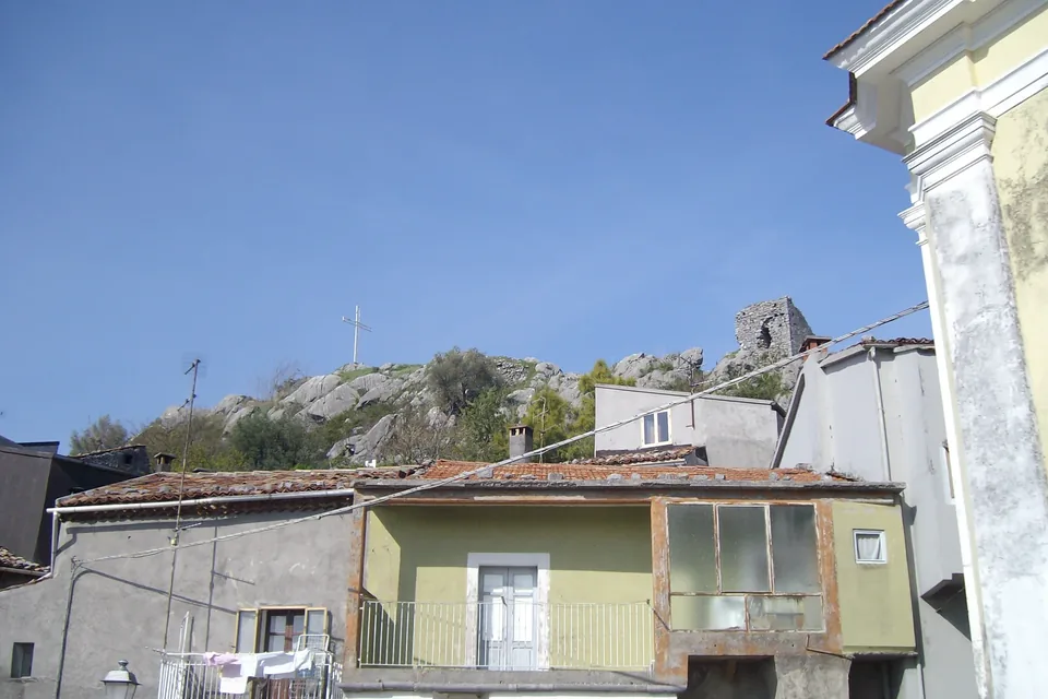


.jpg)


